Platform Updates & Releases
Explore our latest features, improvements, and updates organized by month. Click on any card to view detailed release notes.
Latest Feature Highlights

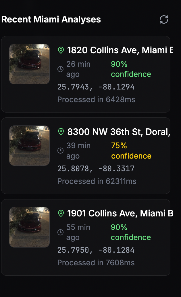
Global Cities Expansion
Expanded Oceanir coverage to include New York and Los Angeles, creating a comprehensive multi-metropolitan intelligence network across all supported cities. This expansion enables cross-city intelligence correlation and unified platform queries.

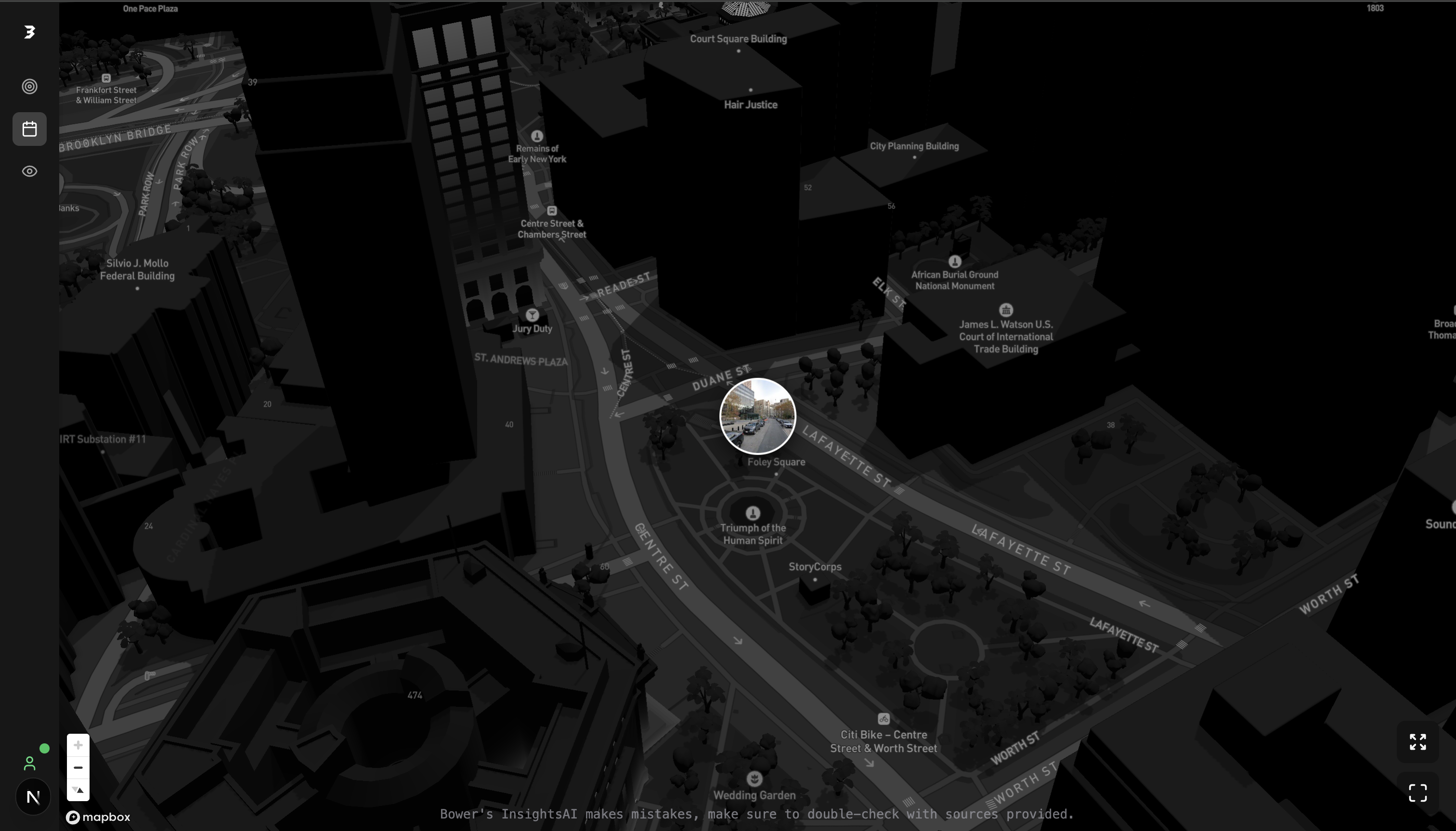
Enhanced Privacy Controls
Implemented advanced privacy detection algorithms with automatic face blurring in street view analysis to protect individual privacy while maintaining geolocation accuracy. Includes privacy protection, enhanced user consent controls, and full GDPR compliance across all supported cities.

Real-time Processing
Introduced advanced processing capabilities for efficient geolocation analysis of uploaded images. Features streaming platform endpoints for live applications, optimized neural network inference, and batch processing capabilities for large datasets.

Enhanced AI Performance
Major improvements to AI geolocation models with enhanced accuracy and processing pipeline performance. Enhanced landmark recognition algorithms, improved night-time image analysis, and better handling of challenging weather conditions across all metropolitan areas.