Cities Expansion: From Miami to Global Cities
Scaling Geolocation Intelligence Across Metropolitan Networks
Bower AI Team
Published: October 4, 2025
Last Updated: October 9, 2025
Case Study: Infrastructure Expansion
Strategic Vision
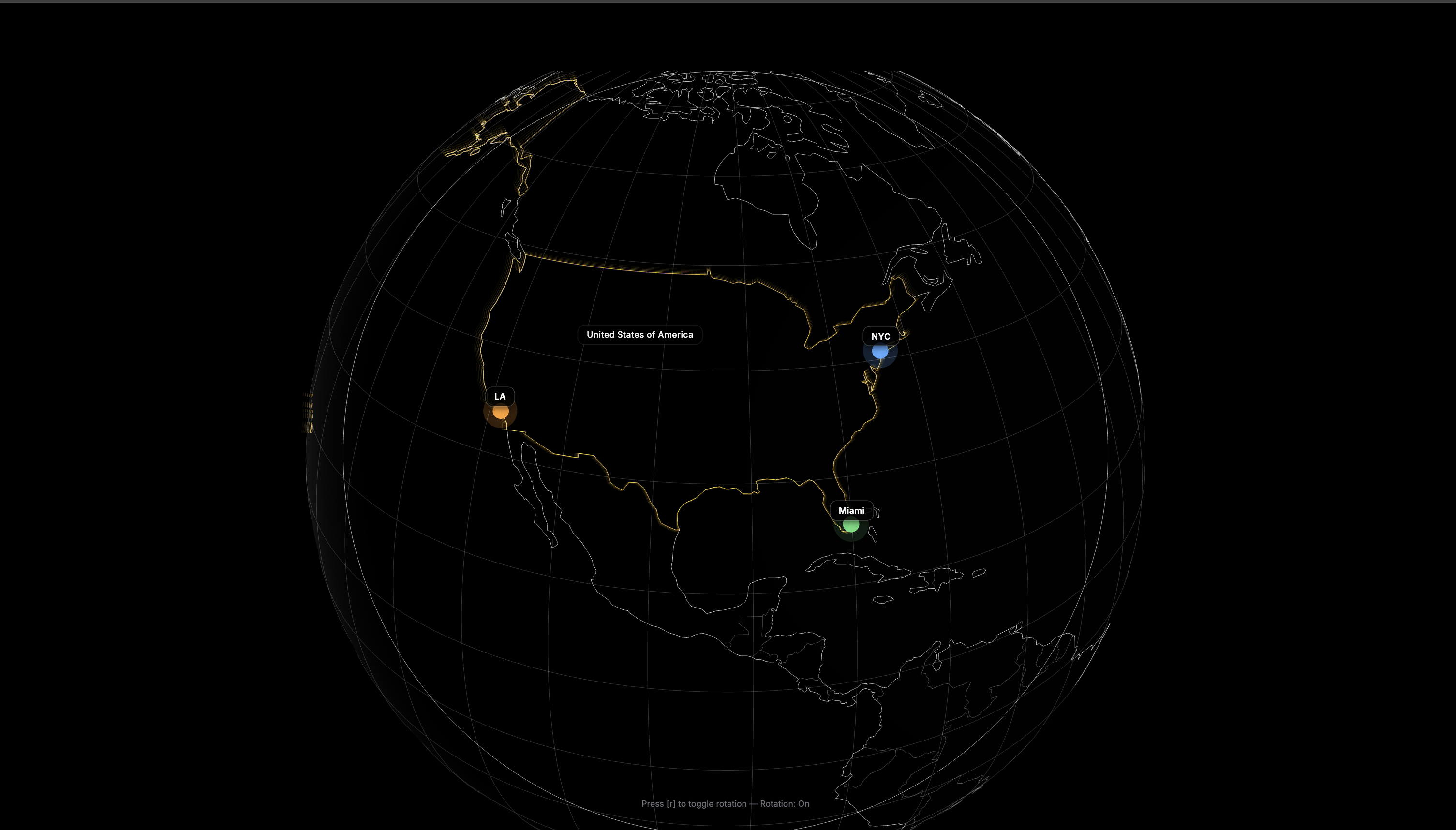
Cities Expansion represents our strategic initiative to scale Oceanir from a single-city experiment to a comprehensive multi-metropolitan intelligence network. Starting in Miami, we successfully expanded to New York and Los Angeles, creating a coast-to-coast geolocation intelligence system.
Technical Challenges
Each city presented unique challenges: different architectural styles and urban planning, varied geographical features and landmarks, distinct cultural characteristics, and unique transportation infrastructure. Our expansion strategy involved specialized AI models and unified API architecture for seamless cross-city operation.
Implementation Success
We developed city-specific models trained on thousands of geotagged images while maintaining cross-city learning capabilities. A single API endpoint now serves all four cities, automatically routing requests to appropriate models based on image analysis and user preferences.
Remarkable Results
The Cities Expansion achieved coverage across four major metropolitan areas serving over twenty million people. We maintained strong performance across all cities with efficient processing and substantial daily processing capacity.
Future Expansion Plans
Building on our four-city success, we're planning expansion to additional Midwest markets, international markets starting with Toronto and London, and secondary US markets including Austin, Denver, and Seattle. Global coverage remains our ultimate objective.
Platform Scalability
The Cities Expansion project demonstrates the scalability and adaptability of the Oceanir platform. By successfully expanding from Miami to New York and Los Angeles, we've proven our geolocation intelligence technology can be deployed across diverse urban environments while maintaining high accuracy and performance.