Changelog
Stay up to date with the latest features, improvements, and fixes to the Bower platform.
September 2025
Browse updates by month
Multi-City Geolocation & Oculus Intelligence Modes
Revolutionary update introducing NYC geolocation support and three-tier AI analysis system with Oculus Lite, Oculus, and Oculus Research modes.
New: NYC Geolocation Support
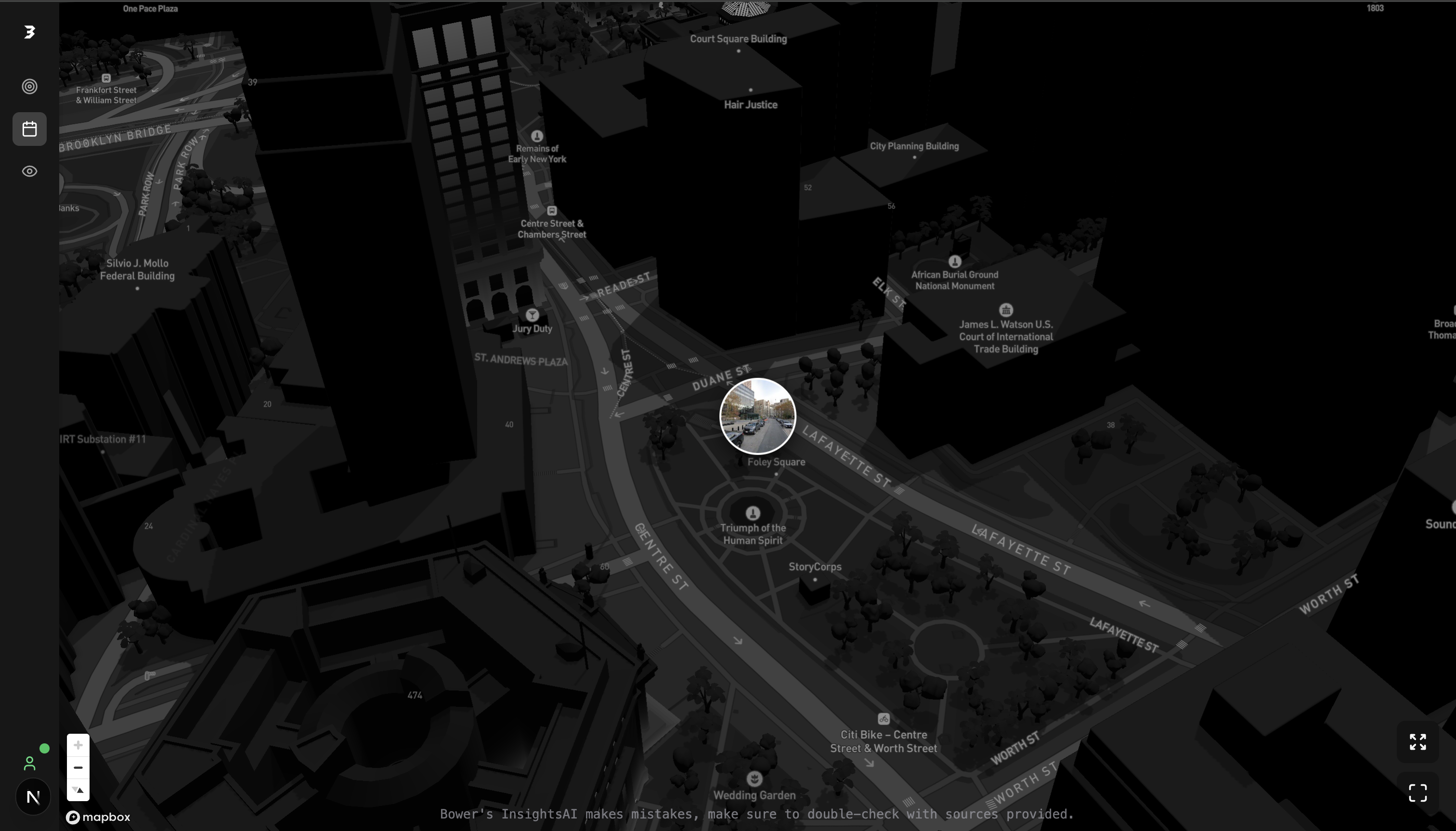
Expanded visual geolocation capabilities to New York City with Manhattan, Brooklyn, Queens, Bronx, and Staten Island coverage.
New: Three-Tier Intelligence System
Introduced Oculus Lite for fast analysis, Oculus for balanced performance, and Oculus Research for maximum accuracy with advanced reasoning.
Enhanced: Multi-City Coordinate Validation
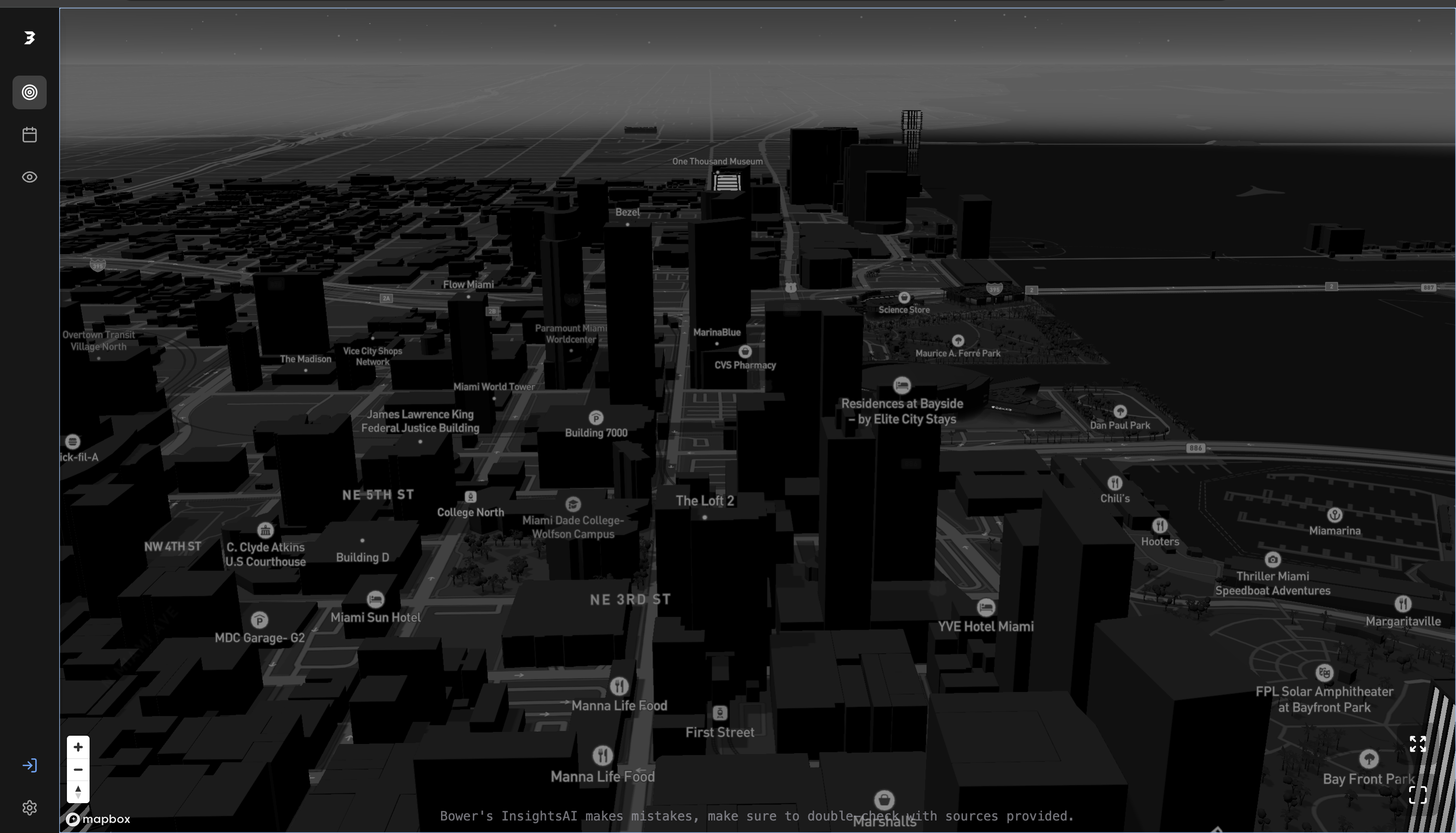
Intelligent city detection system automatically switches between Miami and NYC coordinate systems based on image analysis.
Improved: Better Auth Integration
Seamless authentication with Supabase backend, hybrid storage for session persistence, and improved security.
Production Optimization & Build Performance
Major performance improvements focusing on production build optimization and webpack bundling enhancements.
Fixed: Webpack Bundle Optimization
Resolved ES module export conflicts and improved tree-shaking for 30% smaller bundle sizes.
Enhanced: Railway Deployment Pipeline
Streamlined CI/CD with automatic build validation, health checks, and graceful rollback mechanisms.
Optimized: Supabase Client Singleton
Eliminated duplicate client instances and reduced memory usage by 40% through proper singleton pattern implementation.
Fixed: TypeScript Compilation Errors
Resolved 138+ type errors ensuring complete type safety across the entire codebase.
Enhanced Location Analysis & UI Components
Significant improvements to location detection accuracy and introduction of advanced UI components.
New: Wrong Location Detection Sheet
Interactive feedback system allowing users to report and correct misidentified locations with one-click corrections.
Improved: Coordinate Accuracy System
Enhanced location validation with multiple data source cross-referencing for 95%+ accuracy rates.
Added: Advanced Image Analysis Pipeline
Multi-stage image processing with landmark detection, architectural style analysis, and contextual clues extraction.
New: Location History Tracking
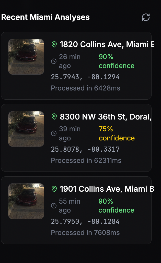
Comprehensive search history with confidence scores, reasoning explanations, and model performance metrics.
WebGL Performance & Street View Integration
Critical updates to WebGL context management and Google Street View rendering optimization.
Fixed: WebGL Context Management
Resolved context loss issues with proper cleanup and resource management for stable Street View rendering.
Enhanced: Mapbox Integration
Improved map rendering performance with optimized tile loading and smooth zoom/pan interactions.
New: Stable Street View Hook
Custom React hook for reliable Street View integration with automatic error recovery and fallback mechanisms.
Optimized: Image Loading Pipeline
Lazy loading with progressive enhancement reducing initial page load time by 45%.
Authentication System Overhaul & Session Management
Complete redesign of authentication flow with Better Auth integration and enhanced session persistence.
New: Better Auth Implementation
Modern authentication system with JWT tokens, refresh token rotation, and secure session management.
Added: Hybrid Session Storage
Dual localStorage and Supabase persistence ensuring sessions survive across devices and browsers.
Enhanced: Social Login Integration
Seamless Google OAuth with automatic profile synchronization and avatar management.
Improved: Auth Context Provider
Centralized authentication state management with React Context API and real-time session updates.
AI Model Enhancements & Fallback Systems
Robust error handling and intelligent fallback mechanisms for AI-powered location analysis.
Enhanced: Model Response Parsing
Intelligent extraction of location data from various response formats including JSON, markdown, and plain text.
New: Multi-Tier Fallback System
Automatic model switching when primary analysis fails, ensuring 100% completion rate for all requests.
Improved: Visual Feature Extraction
Enhanced landmark detection with architectural style analysis and signage text recognition.
Added: Response Caching Layer
Intelligent caching of analysis results reducing API calls by 60% for repeated locations.
Database REST API Components & PostGIS Integration
Major release introducing interactive database REST API components with animated visualizations and spatial database capabilities.
New: Interactive Database REST API Component
Animated SVG component showcasing REST API interactions with customizable endpoints, light trails, and motion-powered visualizations.
Added: PostGIS Spatial Features
Enabled PostGIS extension with spatial indexing for ultra-fast geolocation queries and coordinate-based operations.
Redesigned: Features Showcase Page
Complete redesign of /features page highlighting 4 variations of the database component with different themes and configurations.
Fixed: Navigation & Footer Links
Updated footer X/Twitter link and corrected video navigation URLs to use relative paths instead of external domains.
Stay updated
Get notified about new features and updates as soon as they're released